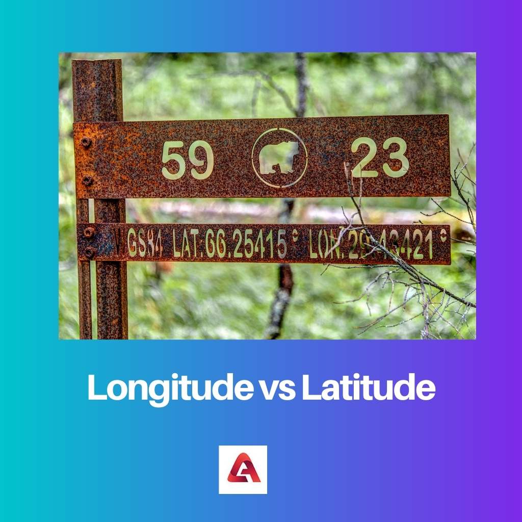
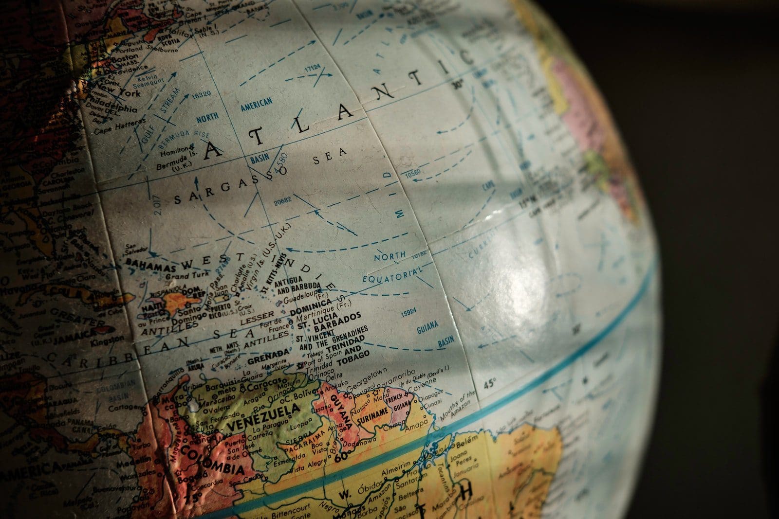
People may be familiar with the terminology longitude and latitude, but not everyone is clear with the geographical concepts around these words.
Key Takeaways
- Longitude lines run vertically, while latitude lines run horizontally.
- Longitude measures east-west positions, whereas latitude measures north-south positions.
- The prime meridian is the reference point for longitude, while the equator is the reference point for latitude.
Longitude vs Latitude
Longitude or prime meridian is an imaginary line that runs in a North to South direction. They consist of 360 lines and measure the distance between the east or West. Latitude or parallel is an imaginary line that runs across the East to West direction. It is parallel to the equator and consists of 180 lines that measure the distance of north and south.

The term Longitude refers to the lines which run between the two poles of the world. These longitudes are not physical lines but rather abstract or imaginary lines.
Latitude is used to denote the horizontal lines which run between the east and west directions of the globe. The latitudes are also not physical lines but a set of imaginary lines.
Comparison Table
| Parameters of Comparison | Longitude | Latitude |
|---|---|---|
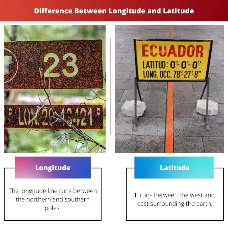
| Direction | The longitude line runs between the northern and southern poles. | It runs between the west and east surrounding the earth. |
| Zero degree | The Prime Meridian is the zero-degree line that divides the western and eastern hemispheres. | The Equator is the line of zero degrees that divides the northern and southern hemispheres. |
| Lines | There are a total of 360 lines. | There are a total of 180 lines. |
| Uses | Used to classify time zones around the globe. | Used to classify temperature or heat zones. |
| Range | The range is between 0 to 180 degrees in the east and west. | The range is between 0 to 90 degrees in the north and south. |
What is Longitude?
The concept of longitude is very commonly used in geographical studies of the world. More than a set of mere imaginary lines that run between the northern and southern poles, longitudes are crucial and serve a lot of purposes.
The longitudes run between the two poles around the world in 360 degrees. The centre of the longitudes is the Prime Meridian. The prime meridian is a longitude that is located at the zero-degree space.
Even though the longitude lines might seem to differ in length on a globe, all the imaginary longitudes are of equal length. These longitudes tend to make a right angle while crossing the zero-degree latitude line, the Equator.
The distance between these imaginary vertical lines tends to differ at different locations. While the distance is broadest at the Equator, it narrow downs as further it is away from the Equator.

What is Latitude?
The word Latitude derives its origin from the Latin word Latitudo which means breadth. The concept of Latitude, along with Longitude, is a famous concept in geographical studies and is used for a lot of purposes.
These latitude lines run between the eastern and western ends surrounding the globe. The latitude line angle with a zero degree is the line of the Equator.
Starting at zero degrees from the equator, the latitude lines go up to 90 degrees at both the north and south poles. This makes the latitude lines with an overall of 180 degrees.
There are a total of 180 imaginary latitude lines surrounding the globe. The distance between these imaginary horizontal lines is calculated to be approximately 69 miles or 110km.

Main Differences Between Longitude and Latitude
- The length of all the longitude lines is equal in size. The length of the latitude lines differs in size.
- The longitude lines range from 0 to 180 degrees. The latitude lines range from 0 to 90 degrees.


