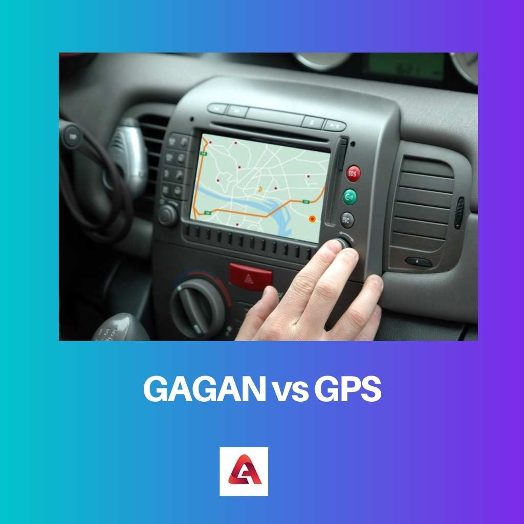
Navigation systems are one of the best inventions in the world. Radio waves and satellites aid in the navigation of humans on a professional or personal level.
GAGAN and GPS are two different navigation systems developed in distinct countries of the world. GAGAN is available on a small scale, while GPS is famous worldwide.
Key Takeaways
- GAGAN (GPS Aided Geo Augmented Navigation) is an Indian satellite-based augmentation system for enhancing GPS accuracy.
- GPS (Global Positioning System) is a global navigation satellite system developed by the United States, providing geolocation and time information.
- GAGAN specifically serves the Indian region and aviation industry, while GPS is a worldwide system available for various applications.
GAGAN vs GPS
GAGAN and GPS differ because GAGAN is an abbreviation for GPS-added GEO Augmented Navigation. On the other hand, GPS is an acronym for the Global Positioning System. Moreover, GAGAN is introduced recently by the government of India. However, GPS was introduced by the American government long ago.
The GAGAN is a regional navigation system. The Airport Authority of India (AAI) and the Indian Space Research Organization (ISRO) together developed this system.
It is a certified navigation system. It is responsible for directing the courses of air transport systems and navigating roads and rivers.
The GPS is known as a global positioning system. It was first introduced in the late twentieth century, in 1978.
People started to use GPS at the personal or professional level in 1993. Roger L. Easton is an expert behind the development of GPS, which provides direction to users along with the shortest route.
Comparison Table
| Parameters of Comparison | GAGAN | GPS |
|---|---|---|
| Launched In | The GAGAN system was unveiled in 2001. | The GPS was first made public in 1993. |
| Country | The GAGAN navigation system is of India. | Although GPS was developed in the United States, it is used in multiple countries. |
| Services | In India, GPS Aided GEO Augmented Navigation is used to navigate air, sea, and road routes. | The Global Positioning System is for navigating roadways, waterways, and airways in distinct countries. |
| Launched By | The GAGAN navigation system was introduced by ISRO and AAI. | The GPS was implemented by the department of the US military. |
| Satellite Name | The satellites of GAGAN is G-SAT 8 and G-SAT 10. | Navstar is a satellite network of GPS. |
What is GAGAN?
The term GAGAN is an acronym for GPS-aided GEO augmented navigation system launched for regional usage in India. It has been known since 2001 and employs satellites to provide navigational services.
It is part of the SBAS (Indian Satellite-Based Augmentation System) and the Interoperability Working Group (IWG), a small group of countries. SBAS system is an excellent one to provide reliable and accurate navigation services.
Two well-known Indian organizations (AAI and ISRO) brought it to citizens’ attention. Though developed to negotiate air traffic, farmers may also use this technology to monitor crops and by civilians to monitor streets and waterways.
Apart from navigation services, GAGAN was constructed to research the ionosphere layer. The GAGAN signals are FEC coded to protect them from unauthorized access.
It enhances the signals of the Global navigation satellite system (GNSS). Its technology is somewhat of the USA and somewhat indigenous.
There are nearly 15 reference stations of GAGAN in India. Its mission control centres are in Kundalahalli in Bengaluru, and its satellites are GSAT-8 and GSAT-10 to broadcast any message.
If people have GPS, no separate signalling device is required to install for availing GAGAN services. It is because GAGAN’s services’ frequency is similar to GPS frequency. The GAGAN’s accuracy depends on GPS features and Ionospheric parameters.
What is GPS?
GPS is a well-known service whose full name is Global Positioning System. Five countries have their navigation system, GPS is of the USA. More than 100 countries, including India, provide the USA’s GPS services.
Initially, GPS was available to the US military, which assisted the military in guiding directions in America. Citizens came to know about GPS in the 1980s.
Because the US government controls GPS, it can deny access to it in severe circumstances, as it did during the Kargil War. GPS is somewhat similar to a radio-based navigation system (LORAN).
It provides umpteen services to professionals and civilians, such as guidance in routes, the shortest route to the destination, the busiest route, and restaurants on the route. Moreover, GPS also guides the user about the petrol station in the path. It may vary according to its type.
All smartphones and tabs have preinstalled the service of GPS nowadays. Additionally, it is also preinstalled in cars. It is all possible due to the multiple tests conducted on the actual GPS. Since this navigation technology is excellent, the GPS team has won many awards.
Generally, 24 GPS satellites orbit the Earth for 12 hours. Each satellite transmits synchronized signals. The receiver comes to know about his precise location when four or more satellite comes in contact.

Main Differences Between GAGAN and GPS
- The GAGAN is an Indian navigation system. On the other hand, GPS is an American navigation system.
- The GAGAN is only for Indian regions. On the contrary, 100+ countries avail of GPS services.
- The GAGAN has two main satellites. On the other side, there are twenty-four GPS satellites around the sun.
- The GAGAN was launched by the Airport Authority of India and the Indian Space Research Organization in 2001. However, GPS was introduced by the American authority in the year 1993.
- The majority of GAGAN’s users are professionals. On the contrary, GPS can be used by both professional and nonprofessional people.
