To go about different places of the globe, There is no need to get in a vehicle or fly. By utilizing a desktop computer, anyone can observe any location from air, generate maps, and travel to various areas of the world through Google Maps and Google Earth.
Both the applications are developed by Google Inc. but there are differences between them. Let’s compare.
Key Takeaways
- Google Maps is a web-based mapping service that provides real-time traffic updates and directions. At the same time, Google Earth is a desktop application that offers 3D views of the Earth’s surface and satellite imagery.
- Google Maps is more practical for navigation and local searches, while Google Earth is better suited for exploring and visualizing geographical features.
- Google Maps is available on mobile devices and web browsers, while Google Earth requires a computer and internet connection.
Google Maps vs Google Earth
Google Maps is a web-based mapping service for finding directions, exploring places, and checking traffic. Google Earth is a computer program that renders a 3D virtual globe which allows users to explore the Earth’s surface, ocean, and even the universe using satellite imagery and other data.
Google Maps is a basic navigator program created by Google that can assist you in getting from one point to another by using the shortest path possible.
It is the foundation for a number of map-based services invented by Google, adding the Google lane view website, maps to get transportation easily, search finders tabs for rides, and some Google Maps for API integration.
Google Earth is also called a mapping software produced or invented by Google, but more than mapping it has more capabilities and a better user experience.
Google Earth allows the user to take a digital trip around the globe, complete with loads of sights, data, and other interactive features.
Comparison Table
| Parameters of Comparison | Google Maps | Google Earth |
|---|---|---|
| Navigation | Navigates place to place, Turn by turn, Voice-supporter, Real-time updates. | Navigates on a broader scale with the 3-D virtual world. |
| Covinienence | Convinient. | Non- convenient. |
| Historical Imagery | Current cloudless satellite imagery. | 24 Million satellites images. |
| Presentation | By Mercator’s projection. | By virtual 3-D globe. |
| Minimum Requirements for work | A Smartphone with a good Internet connection. | 500MB of disk space to install on the computer. |
What is Google Maps?
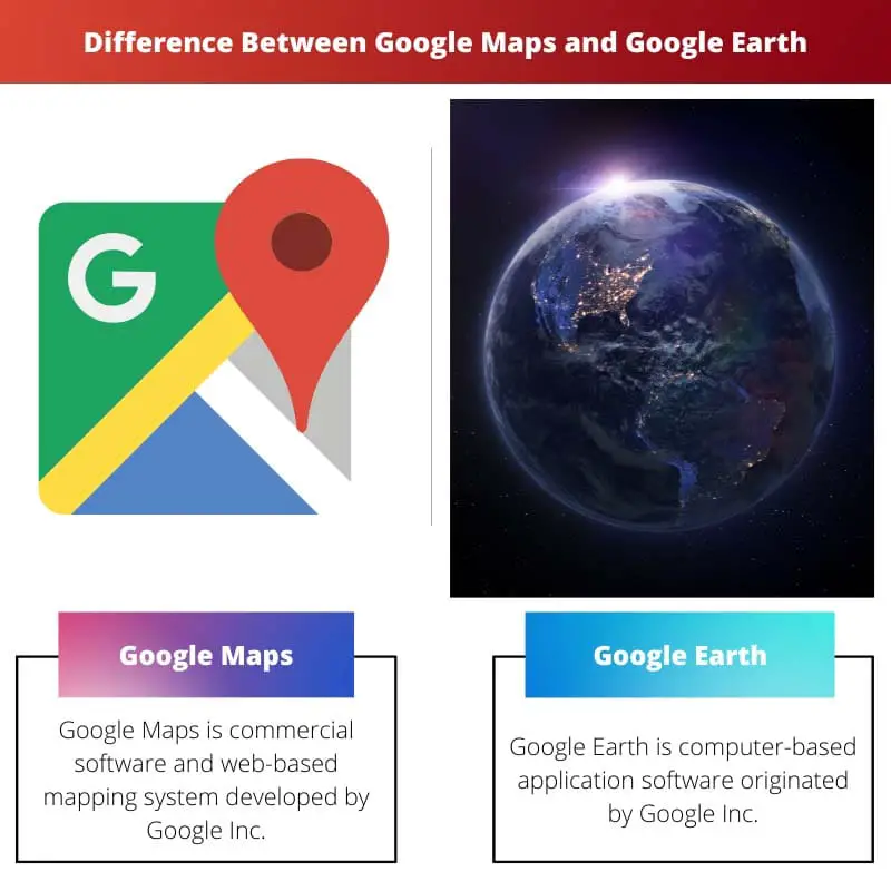
Google Maps is commercial software and web-based mapping system developed by Google Inc.
It includes many technologies like Satellite imagery, aerial photos, local maps, 360° active incredible views of geographical regions like roadways or Street View, actual traffic statistics, and route optimization for walking, driving, biking, flying, and taking public transportation.
Google Maps for Mobile provides a local database for drivers that incorporates the mobile smartphone’s Location information (if available) as well as data from current wireless and cellular internet networks.
It runs on any operating system that has a browser and internet connection that supports it. Google Maps was previously restricted to a 2D view. However, Google Maps now has a 3D version thanks to WebGL technology.
Google Maps adopts a Mercator globe projection and the movement from place A to place B is not animated like a flyover.
Google has worked with over 800 transport modes companies across the world to implement the General Transit Feed Specification (GTFS), allowing third parties to access the information.
The application can show users their transit route. Turn to turn recommendations, transportation data for the general public, and lane views of the region are all same features that are available in the Google Maps apps for both iPhone and Android users.

What is Google Earth?
Google Earth is computer-based application software originated by Google.Inc constructs a three-dimensional picture of the entire globe that is based on satellite imagery. Earlier, Google Earth was known as keyhole EarthViewer.
The system of Google Earth generates a three-dimensional atlas or representation of the Planet’s surface by concatenating aerial photographs and a Geographic information system onto a three-dimensional hemisphere, It helps to enable consumers to watch the entire town from different angles of the earth.
Google Earth is, without a doubt, the only well and commonly used geographic information system (GIS) software.
The program is designed for a varied user base encompassing academics, governance, estate development, media, security, and construction, as well as individual consumers, with its versatile design and highly expansive toolset.
Google Earth is a desktop application that must be properly installed on desktops according to the operating system. As a result, Google Earth can only be used on a few operating systems, including Windows, Mac, and Linux.
Even though it is an executable file, the operation requires a proper and good internet connection. It additionally provides maps of the moon, Mars, and the sky available. Google Earth also allows users to view past models of the Earth’s maps.
Google Earth Pro is an advanced version of Google Earth, Earlier Google stated that It went available for free for some time. While increasing access to the software was viewed positively so it went off again.
Some have deemed Google Earth to be a breach of privacy and national security, resulting in the program’s ban in some other countries.
Some governments have asked for only certain regions of Google’s satellite photos to be covered, usual locations with military installations.

Main Differences Between Google Maps and Google Earth
- Google Maps is available on both mobile and desktop devices, however Google Earth is exclusively available on PCs.
- Google Maps uses Mercator’s projection in their applications, whereas Google Earth is presented in the form of virtual 3D globe in their software.
- Google Maps doesn’t include extraterrestrial maps (Moon, Mars, and Sky), although Google Earth does.
- Google Maps is fully gratis, whereas Google Earth is only partially so.
- Google Maps can be viewable by every internet browser without installation of any application, whereas Google Earth must installed on desktop.
- https://www.tandfonline.com/doi/abs/10.1080/13691180903456520
- https://ejournals.bc.edu/index.php/ital/article/view/1848
